How it works
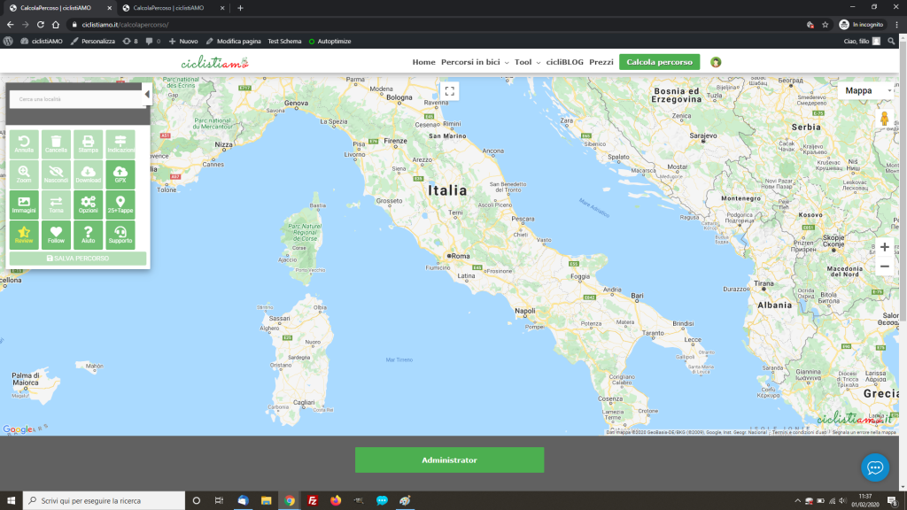
The use of cyclistiAMO is very simple, the program is based on Google Maps, and the interface is very similar.
To create a route you need to put markers on the map, which are called marker; For us cyclists will be Start, Finish and stages of the route.
At the second mark, the Altimeter of the route or ascent will be created automatically. Automatically will also generate GPX files and images of the altimetry to download.
You can add more markers on the map or drag the route. Drag the path means to drag the green line of the path to pass on the way we prefer. You will find videos where I show how the drag works.
The mobile display is different, the altimetry is created at a later time when you press the button in the menu.

How it works ciclistAMO
Desktop Version
3 Videos

0:25

0:27

1:01
Mobile/APP Version
2 Videos

0:32


